photo: Ion David
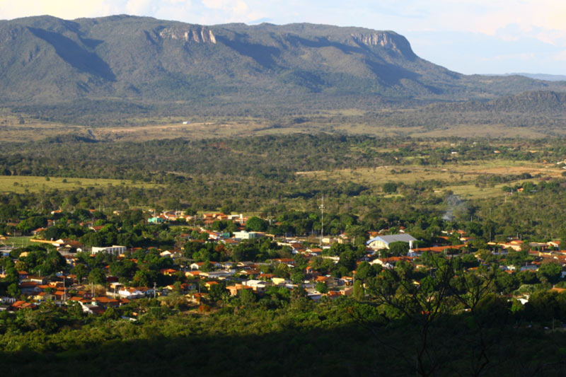
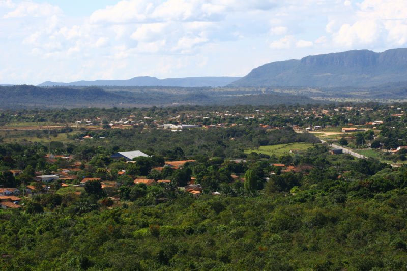
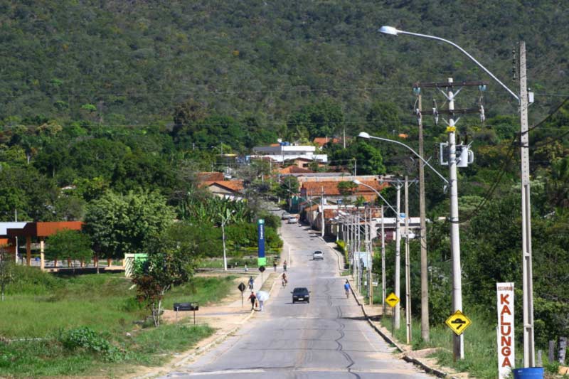
Cavalcante
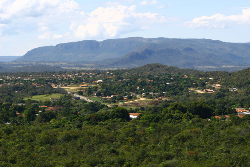
Cavalcante Municipality borders Alto Paraíso, Teresina de Goiás, Colinas do Sul, Minaçu, Monte Alegre de Goiás, and the State of Tocantins.
The municipality’s center is located at 810m of altitude, but it varies from 400 to 1300 meters around its territory.
With approximately 7.000 sq. km. (4.350 sq. miles), Cavalcante is the biggest municipality in territory in the Chapada dos Veadeiros. About 70% of the National Park’s area is within its limits. This is said to be the most preserved portion of the Park, but not open for visitation yet.
Even though only recently Cavalcante has been discovered for its natural treasures, the place has been founded in 1740, when it was brought to the Village status, and later becoming a District in 1831 and finally politically emancipated in 1835.
It is where the Kalunga people descendants live, in the community known for being one of the most important Quilombos in Brazil. They preserve their heritage, memory, dialect, and culture of the old enslaved ancestors.
photo: Ion David
A little more about Cavalcante
Foundation: November 11th, 1931
Area: 6,953.6 sq.km.
Population: 9,725
Altitude
810 meters
How to get there
From Brasilia, head North on BR-020. Then follow onto the GO-118 North bound.


